Affiliate Ad Disclosure: We’re reader-supported. When you buy via our links, we earn commissions. Learn more.
San Gabriel Mountains (13 Best Hikes & Tips For Visiting)
Affiliate Ad Disclosure: We’re reader-supported. When you buy via our links, we earn commissions. Learn more.
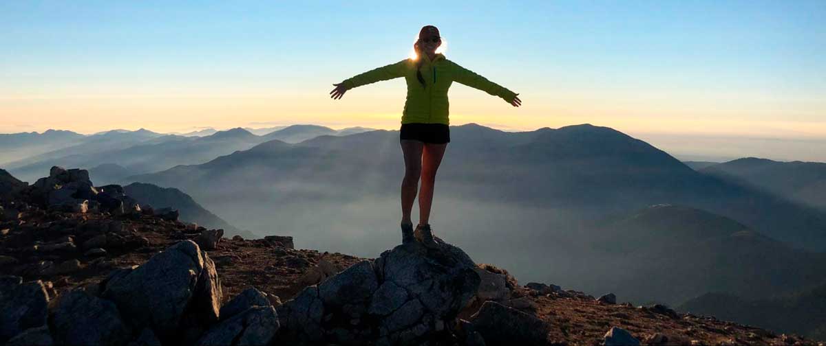
Head’s Up: You’re reading an archived post. This means we are not actively updating this article, but we still think it has value. See our Archive Policy for more info. As a California local, I have hiked almost half of the peaks in the San Gabriel Mountain range and am here to share my expertise with you. This guide includes the best hikes, how to get there, when to visit, and more! The San Gabriel Mountains embody rolling peaks, the rushing San Gabriel River, and critical habitats for mountain animals. Some of the best California hikes are here. There are 124 named peaks in the San Gabriels and smaller day hiking trails as well. Let's get into everything you need to know before you visit.
13 Best San Gabriel Mountain Hikes Mount San Anto...
McKenna Mobley is an avid adventurer, traveler, mountaineer, and writer from Southern California. Her goal is to climb some of the world's highest mountains and visit as many countries as she can. She loves Latin America and has been to almost every Latin country. She also has a thirst for solo adventuring and has hiked 400 consecutive miles by herself through the Arizona desert. She is the author of Budget Travel 101, Your Practical Handbook for Exploring the World on the Cheap.
Subscribe to our travel newsletter to stay in the loop:
Subscribe to our travel newsletter to stay in the loop: