Affiliate Ad Disclosure: We’re reader-supported. When you buy via our links, we earn commissions. Learn more.
27 Best Hikes Near San Francisco (By a Local)
Affiliate Ad Disclosure: We’re reader-supported. When you buy via our links, we earn commissions. Learn more.
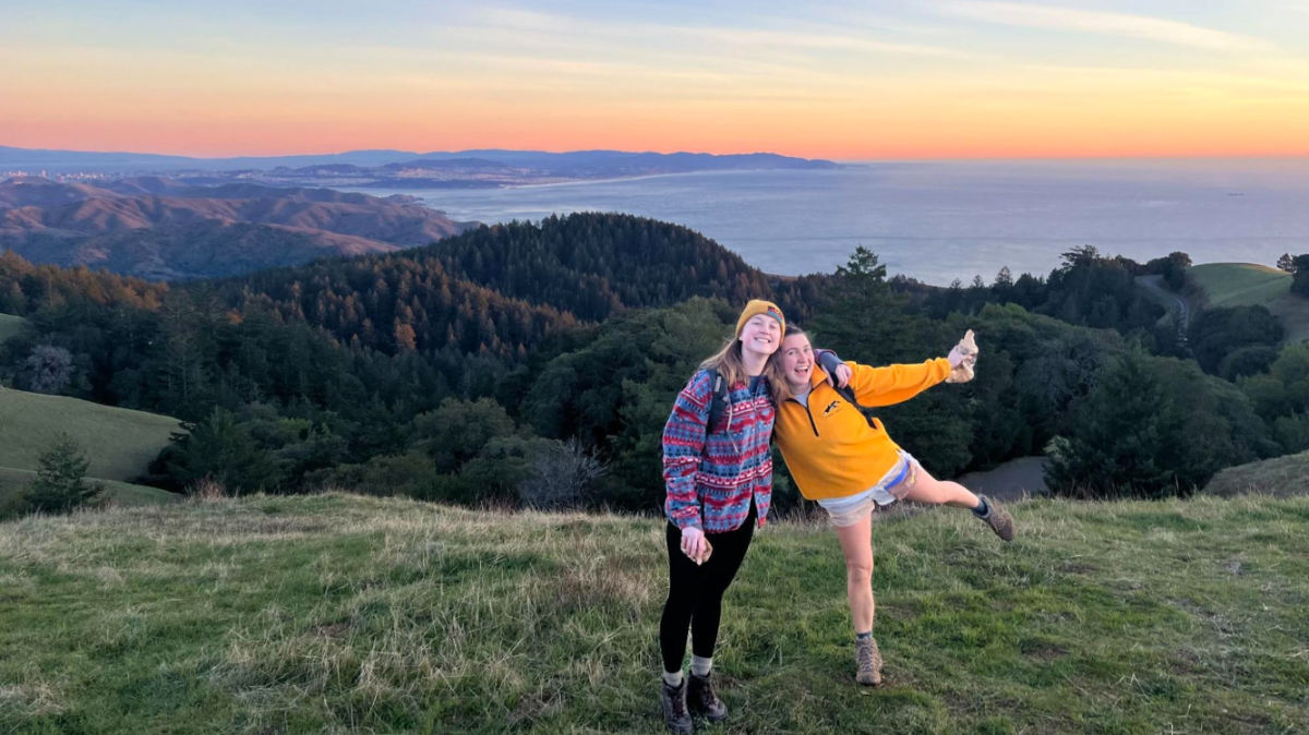
No question — San Francisco has the best hiking of any major city in the country. From panoramic ocean views to towering redwood groves, the thousands of trails in the Bay Area are enough for a lifetime of exploration. I’m a Bay Area local, and I’ve been hiking the trails in San Francisco and beyond my entire life. I’ve done (and loved) every single hike on this list. I’ve divided this article into 2 sections: hikes in San Francisco and hikes near San Francisco. All the hikes listed here are within an hour’s drive from the city. For more far-flung hiking escapades, these hikes in California are sure to satisfy. Get ready to hit the trails!
Hikes In San Francisco Here are 9 of my favorite hikes within the city’...
Laura McFarland is a writer and second-generation Bay Area local. Laura fell in love with traveling and chronicling her adventures after moving with her family to London for several months and co-writing a blog at the ripe age of 12. Laura is passionate about travel, climate change mitigation, sustainable food systems, and being outdoors whenever she can. In her free time, you can find Laura chatting with farmers at a local market, going for a swim in the nearest body of water, or drinking a pale ale.
Subscribe to our travel newsletter to stay in the loop:
Subscribe to our travel newsletter to stay in the loop: