Affiliate Ad Disclosure: We’re reader-supported. When you buy via our links, we earn commissions. Learn more.
My Favorite Places to Hike in California (As a Local)
Affiliate Ad Disclosure: We’re reader-supported. When you buy via our links, we earn commissions. Learn more.
Sun-drenched deserts, snowy mountains, majestic redwood forests, and the rugged Pacific coast -- California's landscapes offer hikes for everyone. I'm a California local, and I've been hiking here my whole life. There are hundreds of trail options in the Golden State, so I’ve created this epic list of my favorites to help get you started. Trekking in these diverse landscapes is one of my favorite activities in the Golden State, and I hope you'll feel the same. Without further ado, here are the hikes you don't want to miss!
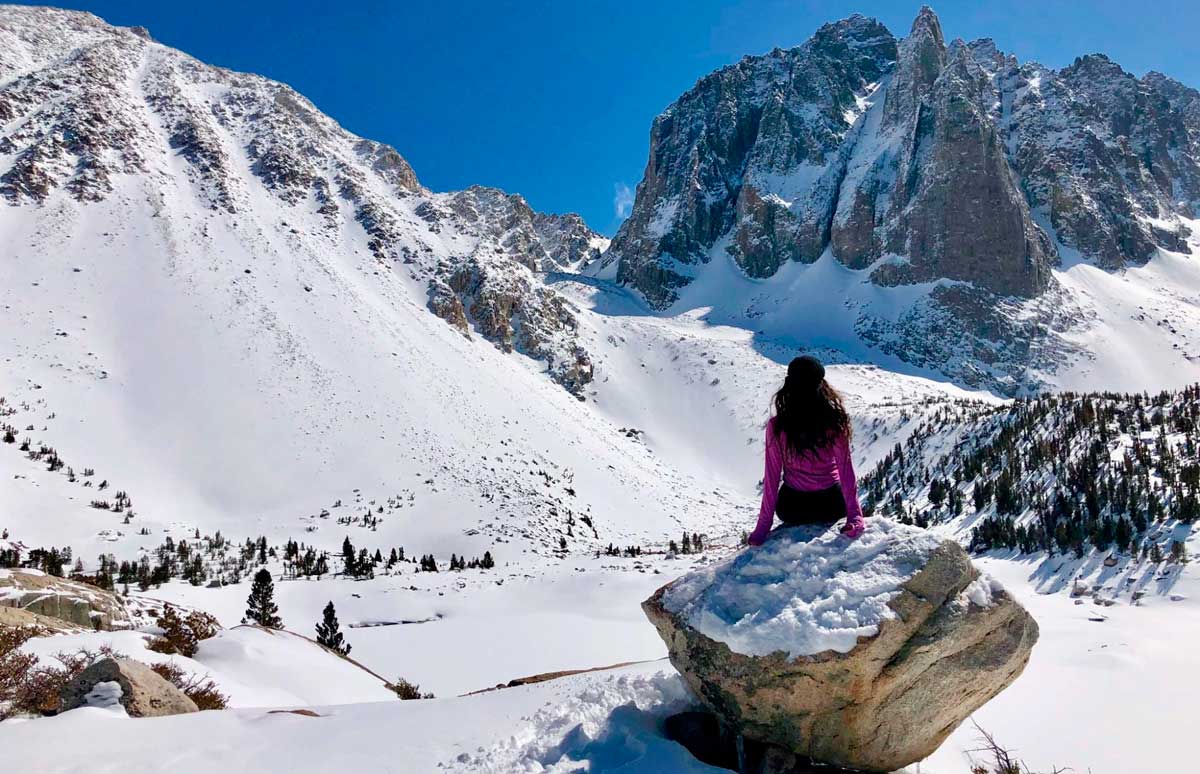
23 Best Hikes in California Mt. Baldy Climb Los Angeles’s tallest mountain. I’m enjoying the view from the Mt. Baldy summit 🥾 Difficult | 8.8 miles round trip | 4,000 feet elevation gain | 📍 Google Maps | Park Website | ...
McKenna Mobley is an avid adventurer, traveler, mountaineer, and writer from Southern California. Her goal is to climb some of the world's highest mountains and visit as many countries as she can. She loves Latin America and has been to almost every Latin country. She also has a thirst for solo adventuring and has hiked 400 consecutive miles by herself through the Arizona desert. She is the author of Budget Travel 101, Your Practical Handbook for Exploring the World on the Cheap.
Subscribe to our travel newsletter to stay in the loop:
Subscribe to our travel newsletter to stay in the loop: